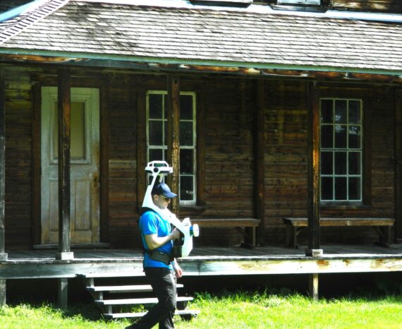
Val-Jalbert: Digital building health record
The objective of the project is to participate in the development of a health reco …
Archéoconsultant Inc.
Archéoconsultant Inc. developed and expanded its suite of applications as part of the Axyz plan. The company encountered technical performance issues and required assistance in resolving them. CGQ helped resolve these performance issues throughout the project.
A list of issues was provided to CGQ, along with access to Archéoconsultant’s infrastructure. The issues were classified into two main categories: the first concerned its spatial database and the second concerned the user interface implemented on QField. Through close collaboration with the Archeoconsultant team, CGQ was able to resolve more than 30 performance issues and bugs reported by Archeoconsultant.
QGIS
QField
PostgreSQL database
Python
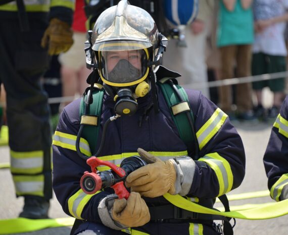
Heritage promotion
The objective of the project is to participate in the development of a health reco …
The SimSinistre platform, with its innovative geographical approach, will enable m …
The project aimed to help Blaise Transit improve and automate its platform using a …