
Red Maple: How Quebec’s forests are adapting to climate change
Climate change is already affecting Quebec’s forests, with expected impacts on tre …
Sollio Agriculture
Agrinova
Research and Transfer Assistance Program (RTAP) – Technological Innovation Component
This project is testing a methodology for collecting and processing aerial images to evaluate genetic selection criteria specific to the cultivation of oats (Avena sativa L.). The aim is to create an automated platform for rapid and accurate analysis of crop growth characteristics, with reproducible protocols and artificial intelligence models capable of automatically interpreting drone data.
More specifically, the project aims to:
The methodology consists of three key stages:
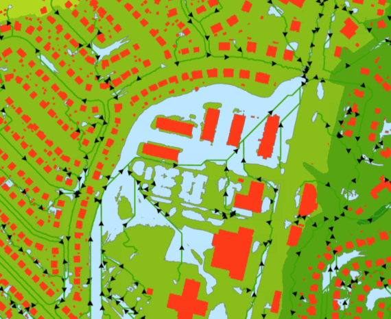
Image acquisition by drone is carried out at four strategic periods (bare ground, post-emergence, mid-season and pre-harvest), using high-resolution multispectral and RGB cameras.
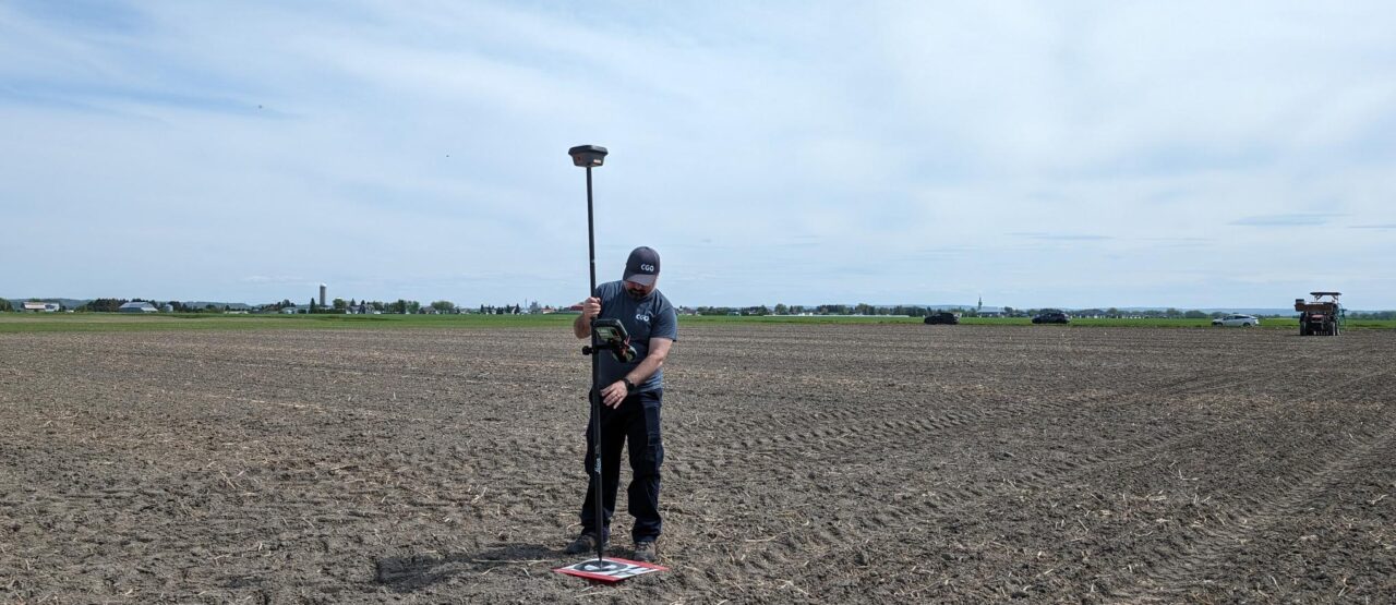
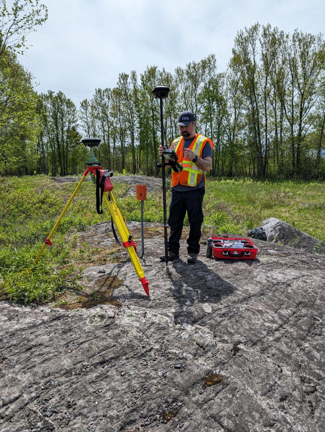
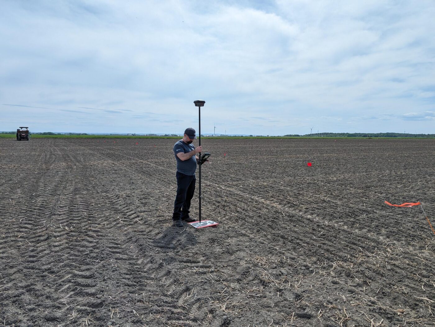
Field validation is carried out simultaneously with the drone flights, with precise manual measurements of plant height, lodging (0-9 scale) and maturity date (90% of ears/yellow pods). Data processing involves the creation of orthomosaics, digital surface models and the calculation of vegetation indices.
Analyses use advanced machine learning techniques, including convolutional neural networks (CNNs), random forests and gradient boosting, to develop powerful and robust detection models.
Resources management
Climate change is already affecting Quebec’s forests, with expected impacts on tre …
The CGQ team aims to provide CMQuébec, as well as its regional and local partners, …
This project involves conducting a campaign to acquire, process, and analyze hyper …