Team
Practice leaders
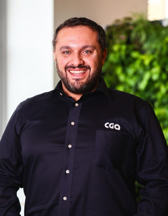
Levin Castillo-Guimond, géo.
Hyperspectral and geologyLevin is a key player in our airborne data acquisition campaign projects. With his knowledge of hyperspectral remote sensing technologies, he contributes to the production of high-quality data, essential for the geological, forestry and environmental characterization of territories. His expertise is also put to good use in geomatization projects, where he helps our municipal customers optimize their decision-making processes.
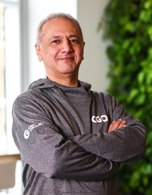
Farshad Hakimpour, Ph.D.
Data scienceWith a PhD in integrated map and geo-information production, Farshad has solid expertise in database design, web GIS development and spatial data analysis. His experience at the University of Georgia’s Large-Scale Distributed Information Systems Laboratory has enabled him to develop advanced skills in big data management and the design of scalable GIS architectures.
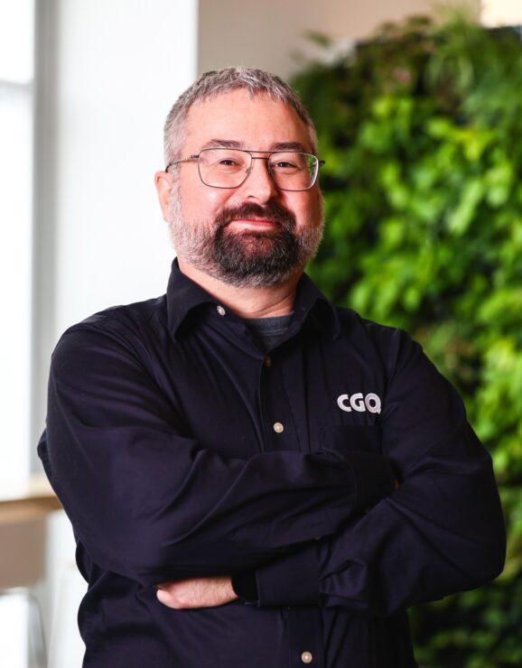
Yannick Duguay, Ph.D.
Remote sensing and satellite imageryYannick is an expert in satellite remote sensing and hydrology. With a doctorate in water sciences and a bachelor’s degree in geomatics applied to the environment, he has solid expertise in image classification and the modeling of geophysical phenomena using artificial intelligence. He is also a member of the Catalyst for Innovation from Forest to Bio-based Products (CIFPROB).
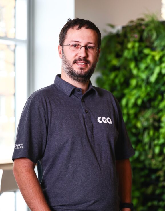
Jean-Sébastien Bilodeau
Computer vision and AIJean-Sébastien designs software for the real-time collection and processing of geographical data acquired by lidar sensors or specialised cameras. With a master’s degree in computer science, he has also developed solid expertise in the design of embedded systems and the analysis of geospatial data using artificial intelligence.
Researchers
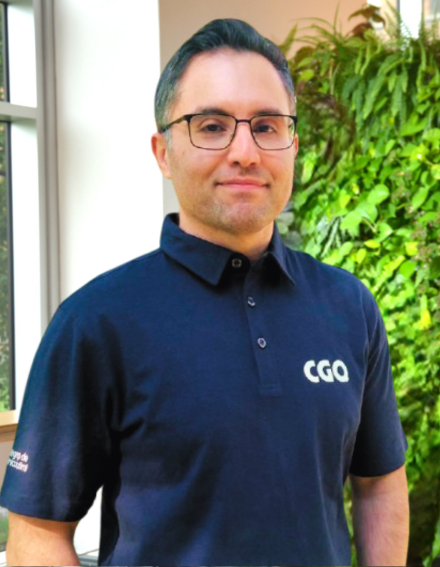
Mohsen Hassanzadeh Shahraji, Ph.D.
Photogrammetry and Remote sensing ResearcherMohsen brings his expertise to the CGQ particularly in data acquisition using mobile LiDAR systems (SLM), with specializations in GNSS integration, direct georeferencing and SLM systematic error estimation. He has also contributed to major research projects, such as the FORSCE project, focused on coastal studies, where he was responsible for sensor calibration. Mohsen holds a PhD in geomatics from Laval University, as well as a master’s degree in photogrammetry and remote sensing engineering from the K. N. Toosi University of Technology.
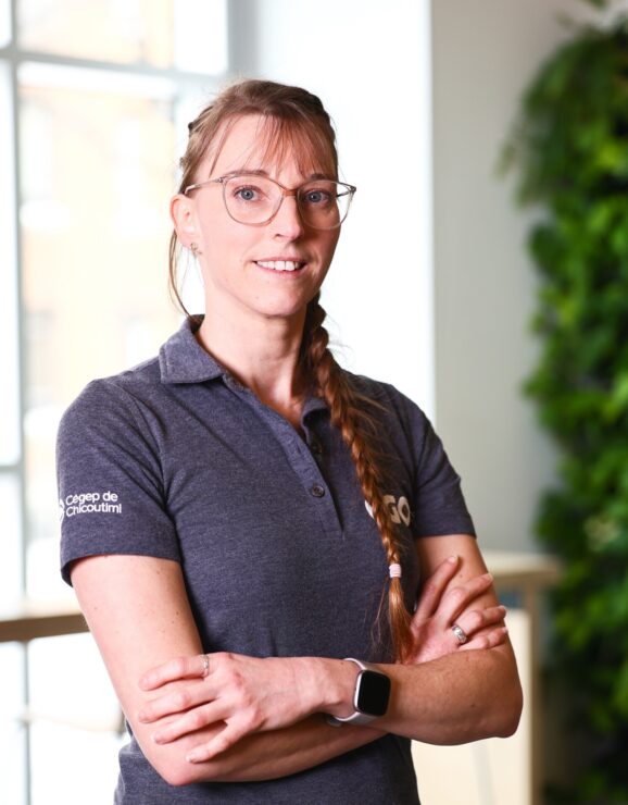
Nathalie Thériault
Geomatics ResearcherNathalie works mainly with images from airborne sensors and GNSS data. With a bachelor’s degree in geomatics applied to the environment and a research master’s in geography and remote sensing, she has taken part in a number of scientific expeditions to remote regions.
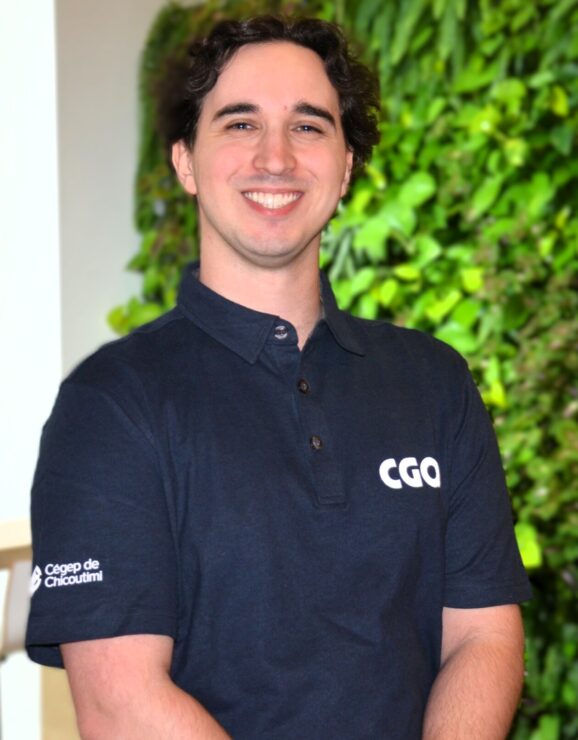
Rémy Rahem
Robotics ResearcherRémy assesses the robotics, artificial intelligence and computer vision needs of the projects to which he is assigned. He holds a bachelor’s degree in electrical engineering and a master’s specialized in humanoid robotics and control. During a research internship at the University of Tsukuba, Japan, he worked on new optimal control techniques.
Analysts
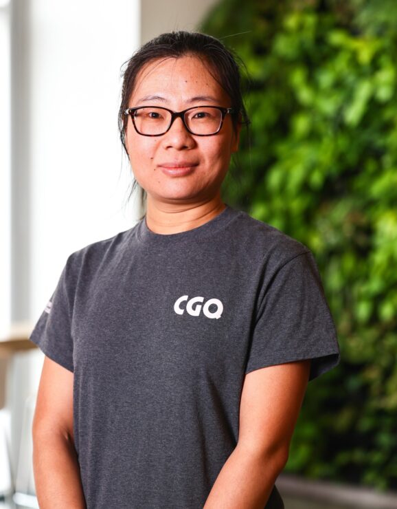
Minhui He, Ph.D.
Geomatics AnalystMinhui is a postdoctoral researcher with a passion for the study of forest ecosystems. She holds a PhD in geography from the Chinese Academy of Sciences, and carried out post-doctoral research in Germany and Canada, where she developed in-depth expertise in dendrochronology and forest ecology. Her work focuses on the impact of climate change on forests, the reconstruction of past environments and biodiversity conservation.
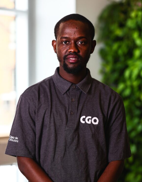
Djibril Diatta
Geomatics AnalystDjibril began his academic career at the University of Thiès, where he obtained a degree in geometric engineering. He then went on to study at Laval University to further his knowledge of geomatics. Before joining our team, he carried out advanced research on the processing of lidar and hyperspectral data acquired by drone, demonstrating his expertise in the field of remote sensing.
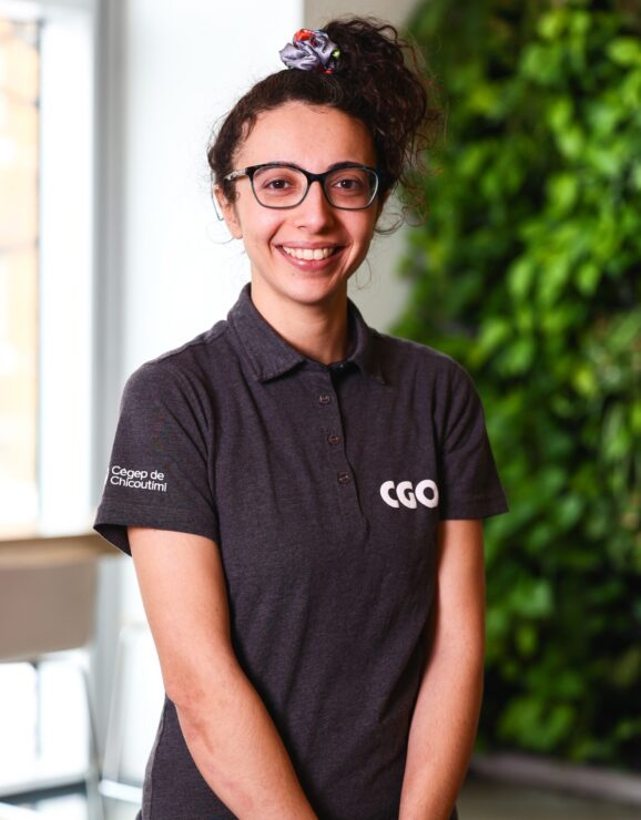
Nesrine Chekou
IT and AI AnalystNesrine works closely with the team in various phases of our projects (analysis, design, implementation, testing) and maintains our systems. After studying computer engineering and management in Montpellier, she completed a master’s degree in computer science at UQAC. Before joining the QGC, Nesrine worked as a web developer – AI.
Technicians
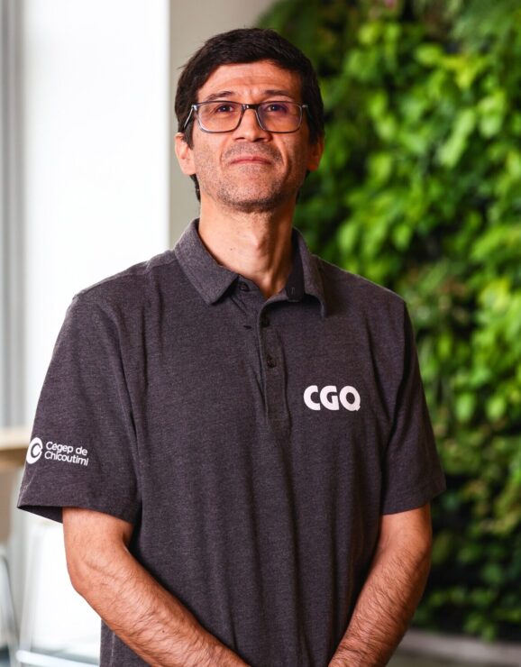
Carlos Rocha
Integration TechnicianCarlos is an integration technician and participates particularly in the development of prototypes of embedded systems, sensors, and communication between devices. He has a bachelor’s degree in Electronic Engineering. He collaborates in the design and development of various projects related to electronic systems and their software.
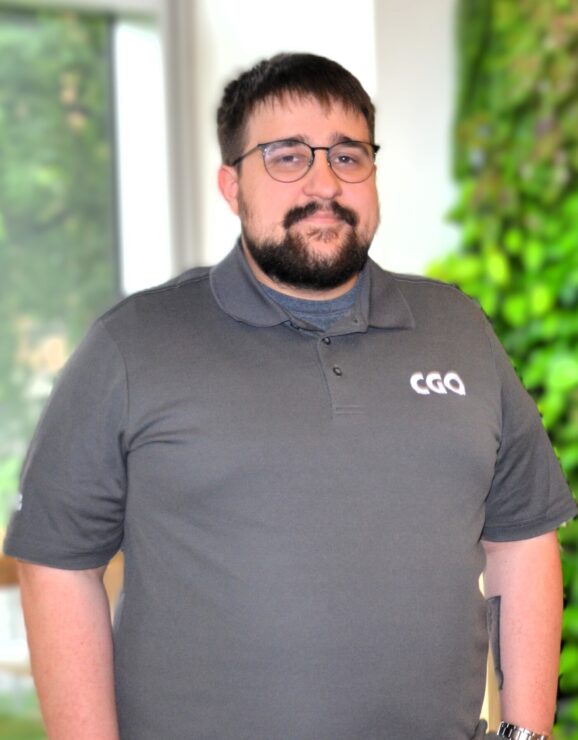
Émile Simard
IT TechnicianÉmile started out at the CGQ as a IT trainee, and was hired at the end of his DEC at Cegep of Chicoutimi. He is in charge of Python programming for our various projects, particularly those requiring model training with artificial intelligence. He will also be pursuing a bachelor’s degree in computer science at UQAC.
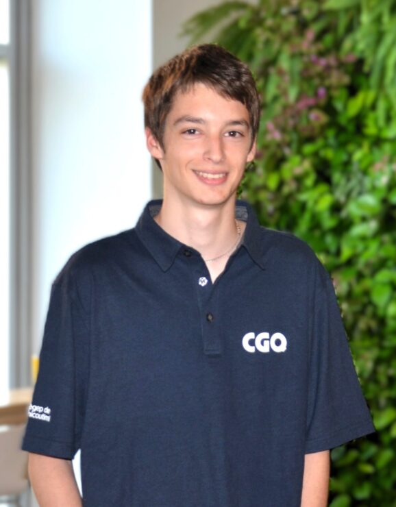
Christophe Lavoie
IT TechnicianChristophe joined our team as an IT intern from Cegep de Chicoutimi. Upon completing his studies, we hired him to provide support in application development, infrastructure management, and artificial intelligence.
Associate teachers at Cégep de Chicoutimi
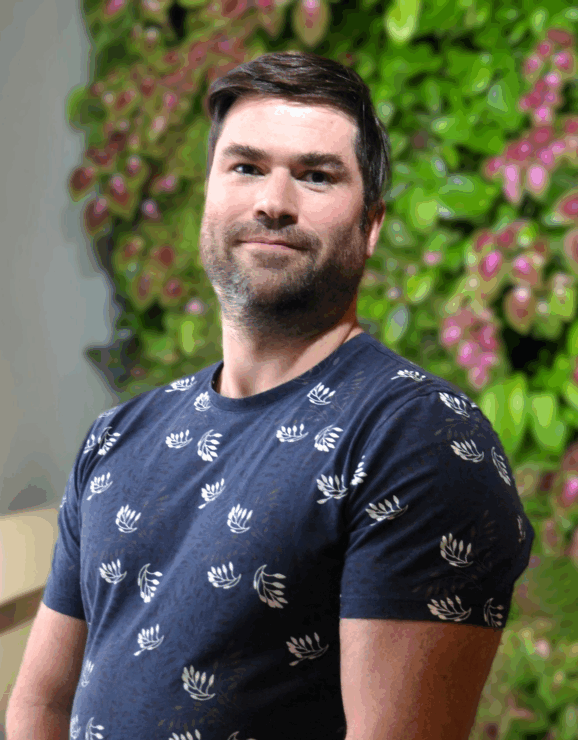
Louis Deschênes
Electrical EngineeringLouis Deschênes trains the next generation in the fields of automation, control, and technology integration. Specializing in Industry 4.0 solutions, he focuses on the practical application of emerging technologies in modern industrial environments. He brings his expertise to the development of our niche in digital twins.
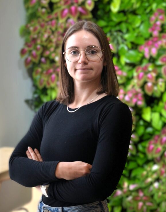
Claudia Hudon
ArchitectureThe field of architecture is evolving rapidly, so it is essential to remain at the forefront of technological innovations. With this in mind, Claudia is participating in the BIM skills development project, an initiative that helps strengthen collaboration between the CGQ and the architecture department at Cégep de Chicoutimi.
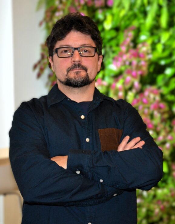
Patrick Tremblay-Simard, Ph.D.
Physics and geologyPatrick holds a PhD in Earth Sciences (INRS Water, Earth and Environment Center). His research focuses on the laboratory characterization of soil electrical properties with the aim of improving the interpretation of field geophysical measurements. He supports the CGQ in developing its niche in Earth Sciences.
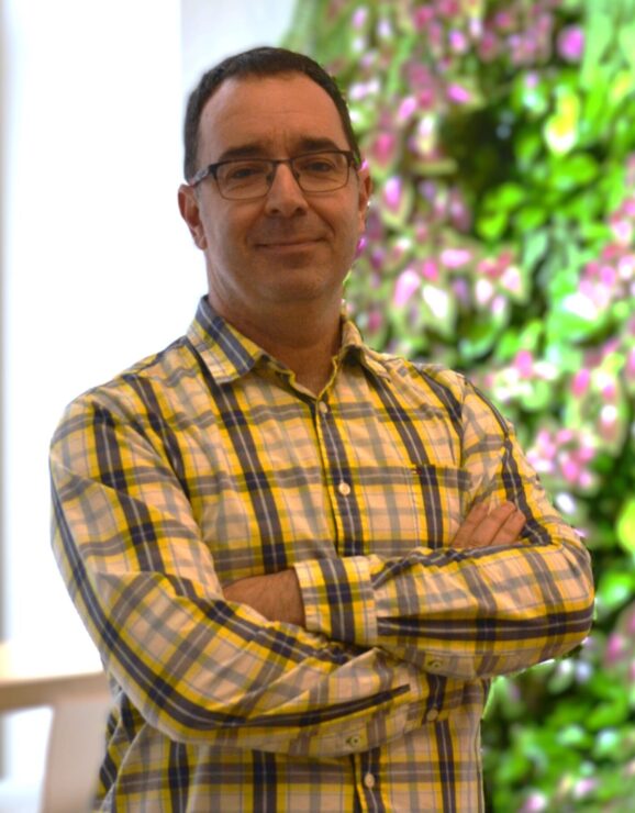
Simon Boivin
Civil engineeringIn a context of rapidly evolving surveying methods, the civil engineering department wishes to strengthen its ties with the Centre de géomatique du Québec in order to develop a new course focused on emerging technologies. With his expertise in implementation and topometry, Simon is involved in integrating modern methods, such as drone surveying and 3D scanning, into the course. This collaboration will provide students with up-to-date, applied training that meets the needs of the professional world, while promoting the expertise of the Centre de géomatique du Québec.
Administration
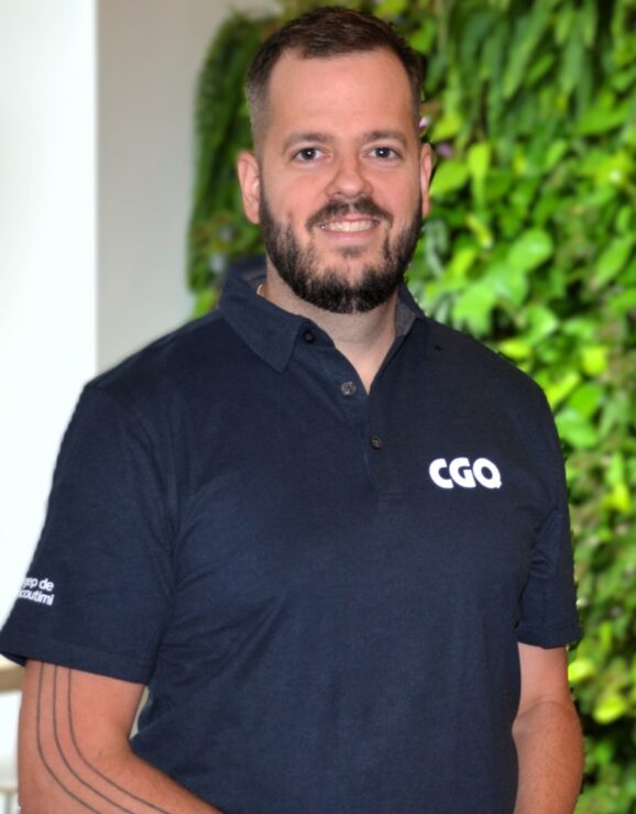
Dominic Tremblay
General DirectorInvolved in regional economic development, Dominic has demonstrated his expertise in supporting companies and educational institutions. His arrival at the CGQ marks a new stage in the Centre’s development. With his training in international management and his experience in the field, he is helping to strengthen our influence on a provincial scale.
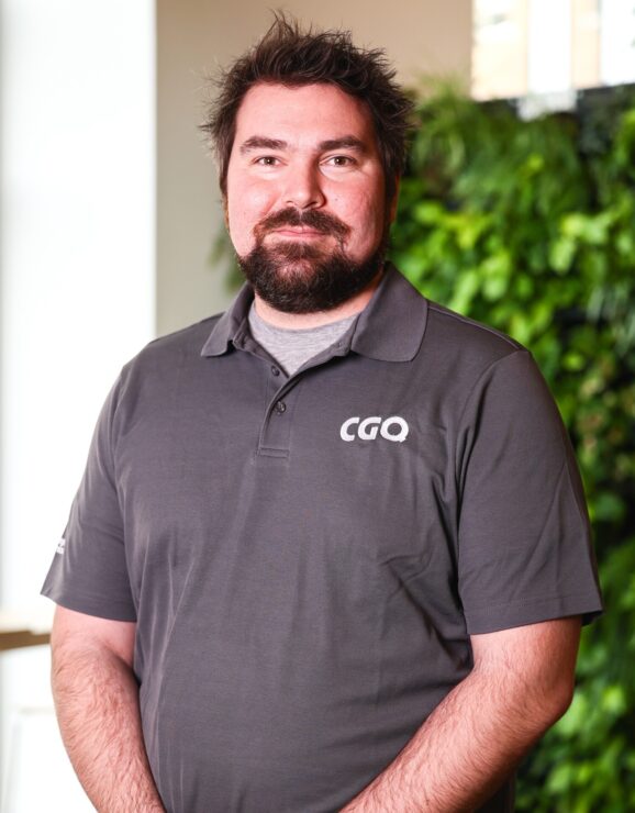
Charles Gignac, Ph.D.
Scientific DirectorCharles supports our various research teams and ensures cohesion between them. He holds a PhD in Water Sciences (remote sensing and geomatics) from the National Institute for Scientific Research. He was a research professional at the Center for Research in Geospatial Data and Intelligence and was involved in the board of directors of the Quebec Association of Remote Sensing for over 10 years.
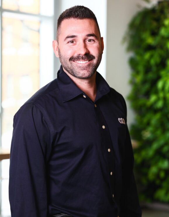
Philippe Bouchard
Manager of administrative services and projectsPhilippe implements innovative policies to foster a healthy and productive work environment. His expertise in professional and organizational ethics enables him to create an environment where everyone can contribute to achieving the CGQ’s objectives. As a result, the team benefits from a climate of trust that stimulates creativity and innovation.
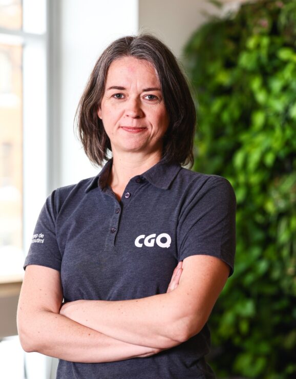
Audrey Gagnon
Communications CoordinatorAfter her involvement in projects in West Africa, she worked for community organizations in the Quebec City area and in politics for the Minister of Public Security. With a bachelor’s degree in public communications, she also studied for a master’s in land use planning. Her main mandate is to promote the CGQ’s activities to a variety of audiences.

Johanne Thibeault
Administrative assistantJohanne provides administrative and accounting support for the Centre. With a diploma in office automation and accounting, her attention to detail is indispensable for keeping track of the CGQ’s many projects.
